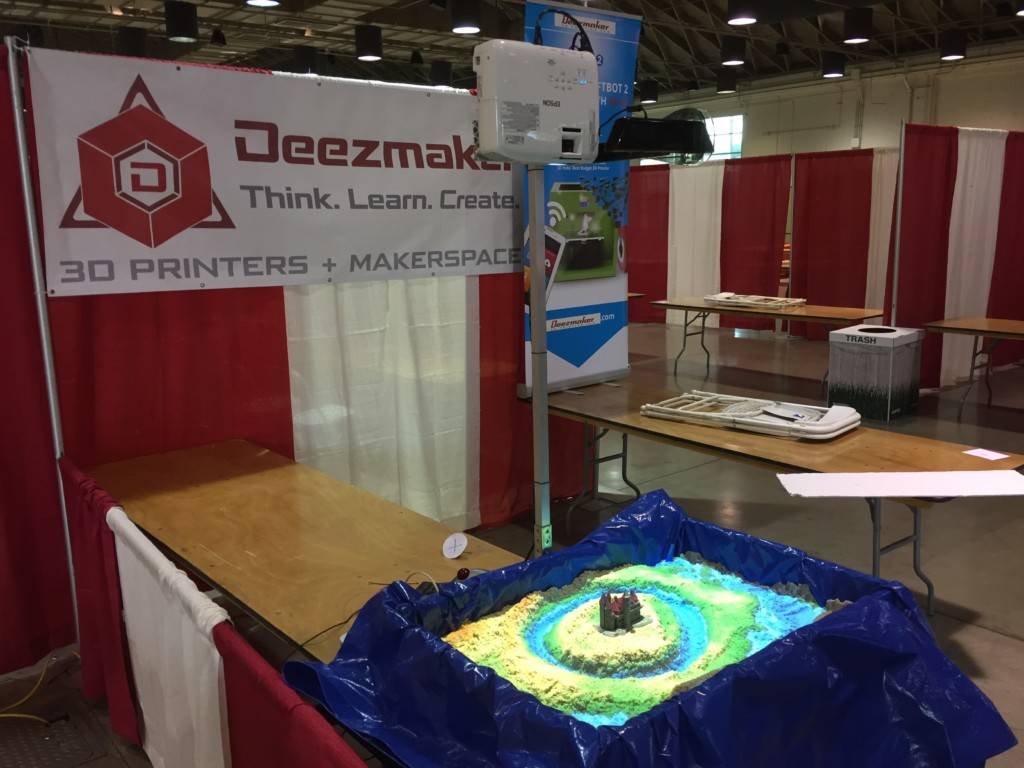
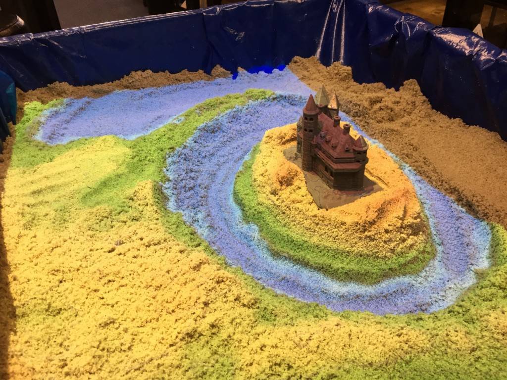
Deezmaker built a hands-on activity combining a real sandbox, and virtual topography and water created using a closed loop of a Microsoft Kinect 3D camera, powerful simulation and visualization software, and a data projector.
The augmented reality (AR) sandbox allows users to create topography models by shaping real sand, which is then augmented in real time by an elevation color map, and topographic contour lines.
The AR Sandbox can be used to demonstrate bathymetry and other watershed capabilities. It allows students to model different land structures and demonstration how event like erosion and weathering changes a landscape.
More info to come, but here’s a few links about the details on this project: